Boston's Two Terminals and Early Efforts to Link Them
Our current regional rail systems are largely the product of bold but uncoordinated expansion followed by incomplete integration.
Each line was built by private companies serving particular destinations, and fostering development all along the routes. In the late 19th century, as traffic grew and the rail yards became ever more unwieldy, the many small terminals that served the lines extending north and south of the city were consolidated into two great terminals, at North and South Stations. North Station was completed in 1893. South Station followed in 1900.
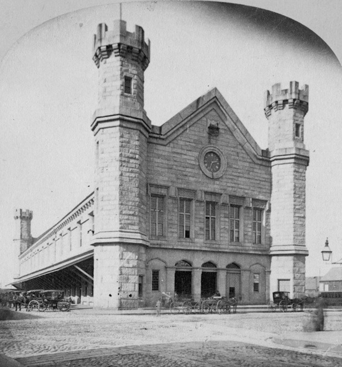
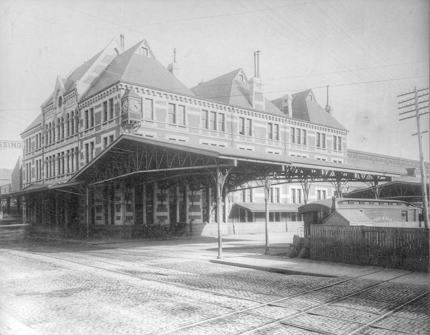
North Station, Boston circa 1905 [Detroit Publishing Company]
North Station, built in 1893, was once the busiest rail station in the nation and a stunning gateway to (and from) points north. Architecture was deployed not just as a noble civic device, but for savvy commercial purposes, helping to make the railroads attractive and seductive, for all social classes.
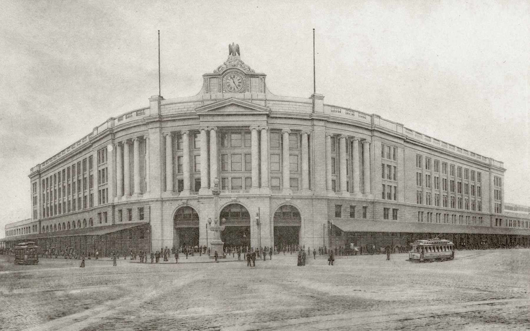
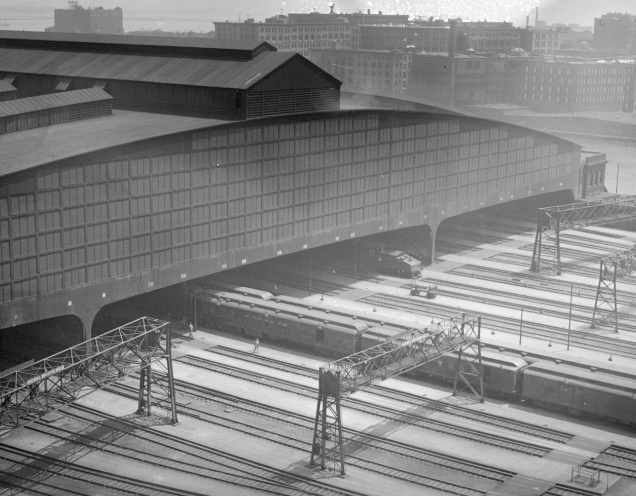
South Station was completed in 1900, with a staggering 28 tracks under its vast shed roof. Proponents of South Station Expansion explicitly cite the 1900 station as a model for the future, when the obsolescence of the terminal concept was recognized within just a few years of its completion.
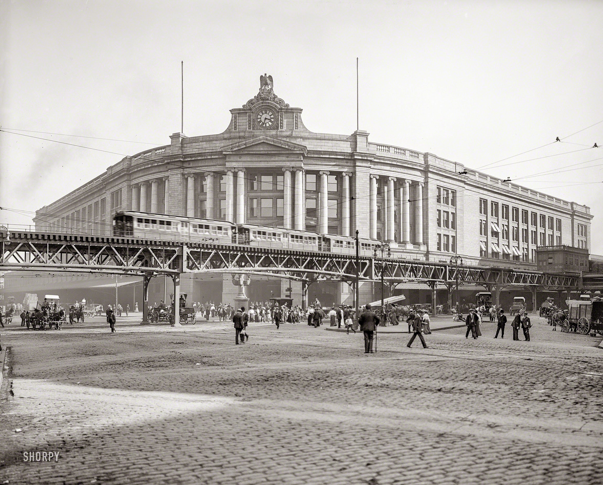
South Station, with the Atlantic Avenue Elevated Railway in the foreground [© Detroit Publishing Co. courtesy of BPL Digital Commonwealth Project]
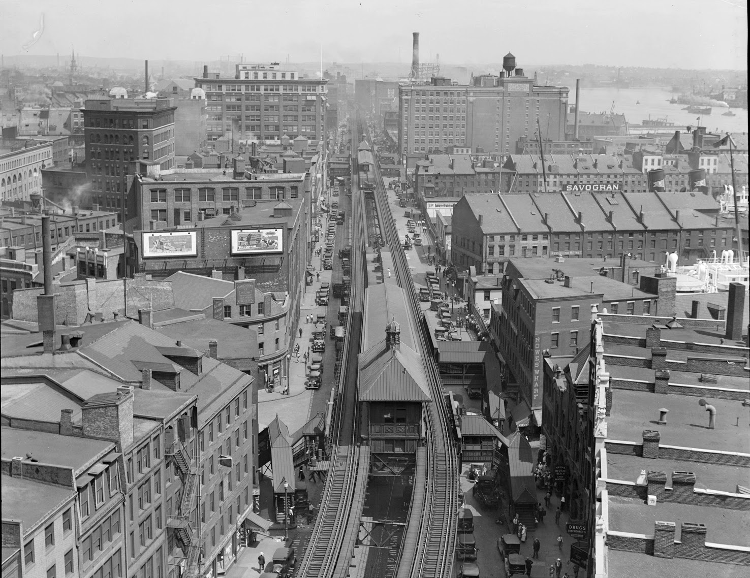
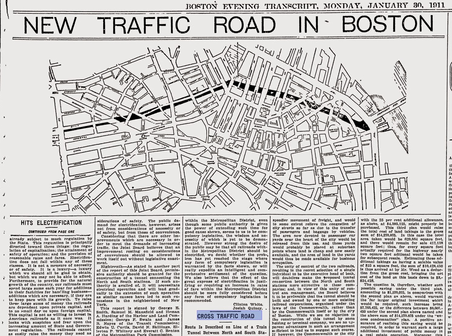
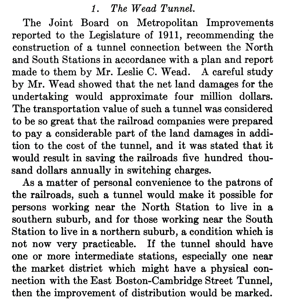
By 1912 the railroads, the City and the Legislature were actively pursuing plans for a North South Rail Link, not because passengers could not get from one terminal to the other – they actually could do this using the Atlantic Avenue Elevated line, which linked the two – but because the terminal operations were so incredibly inefficient and costly.
The Atlantic Avenue Elevated railway near Rowe's Wharf, looking north, July 21, 1932 [photo © Leslie Jones via BPL Digital Commonwealth Project]
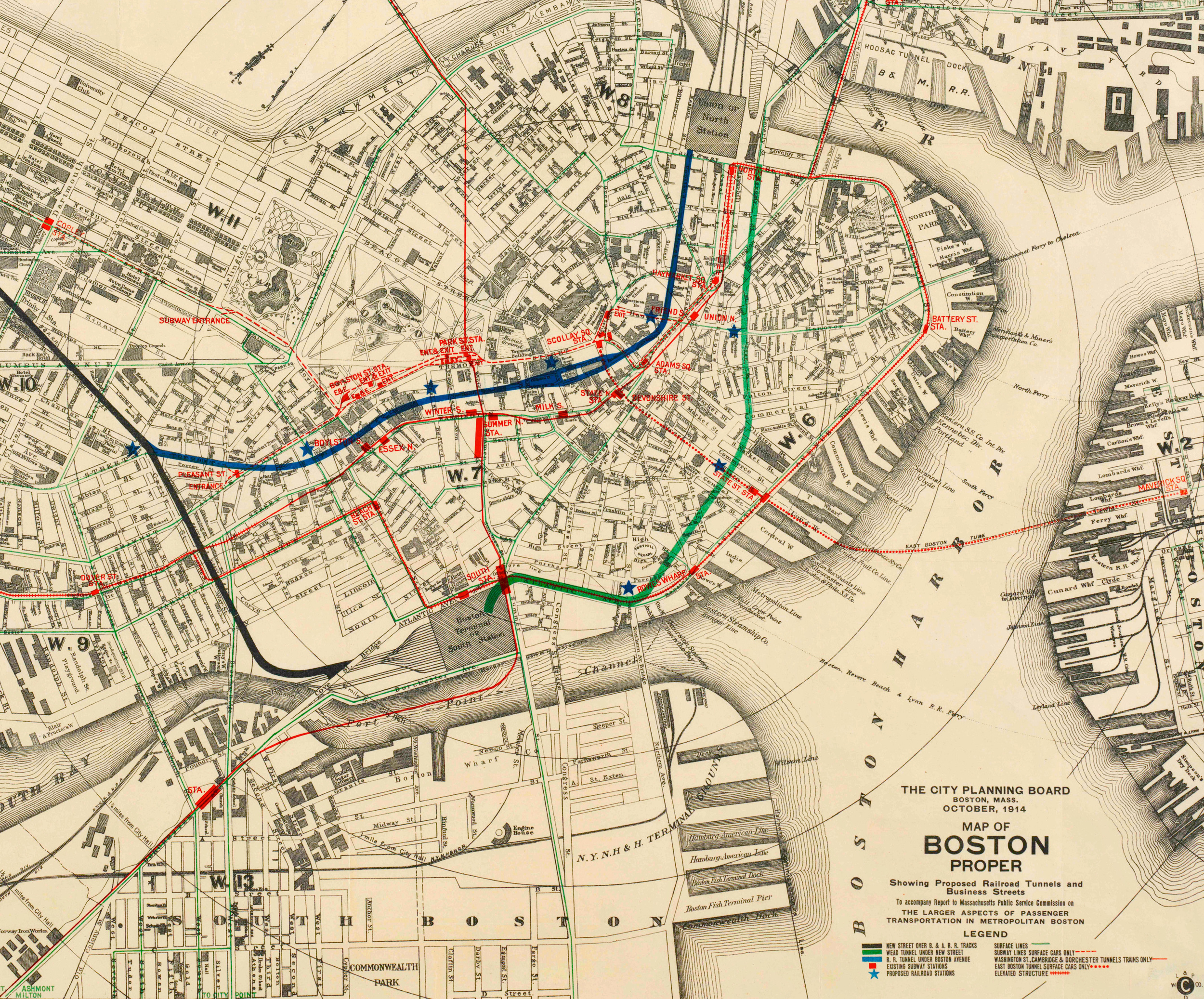
A plan was developed to purchase property between North and South Station, demolish the buildings,
build a rail link one level below grade, and then construct a beautiful new boulevard on the surface. Two World Wars and a Great Depression intervened.
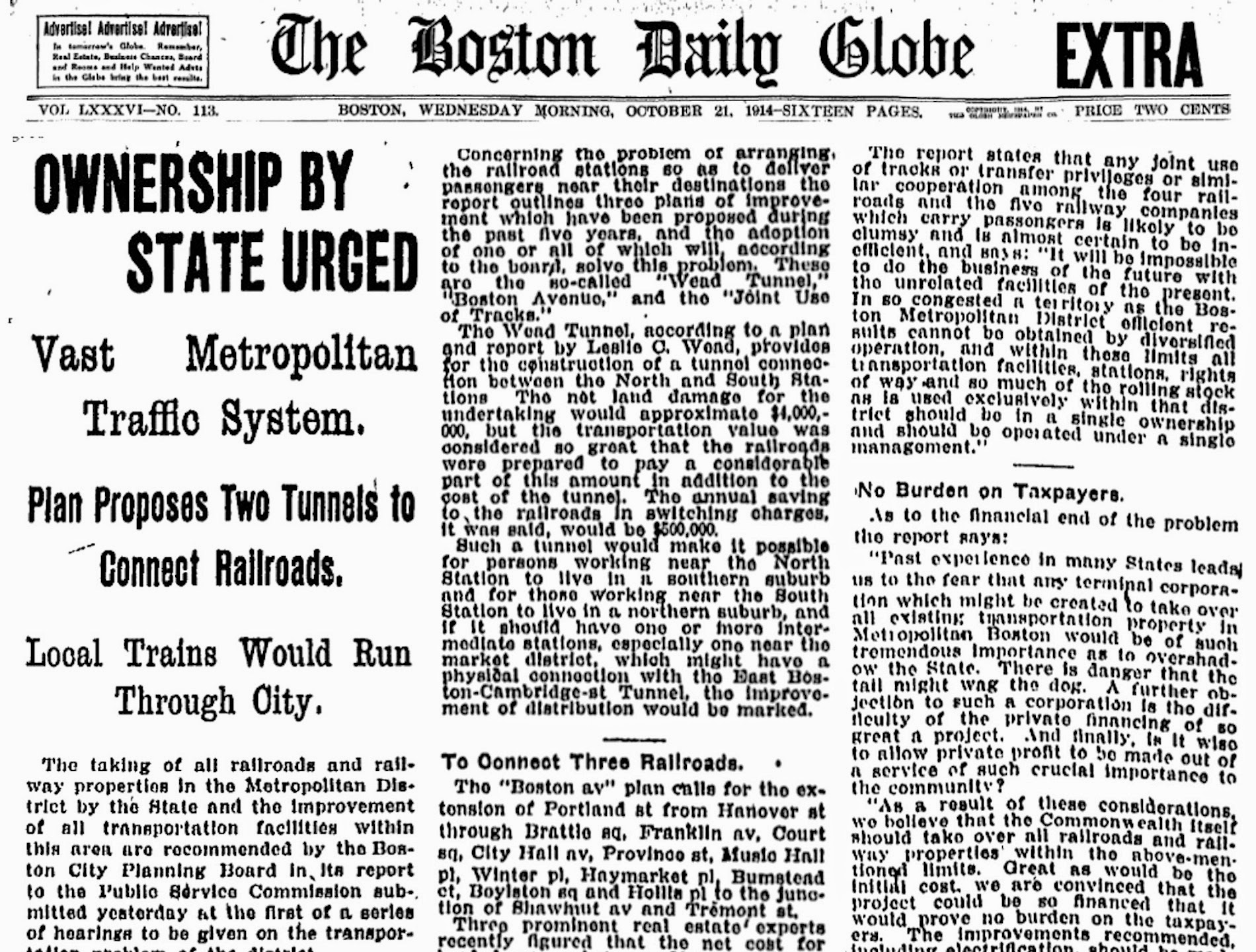
Map of Boston proper, showing proposed railroad tunnels and business streets, October 1914 [Boston Public Library]
Click on arrows on either side of the picture. Read along at the bottom of each picture.