Reuse of Rail Facilities Has Been A Cornerstone of Boston's Resurgence
Much of the vibrant urban core Bostonians take for granted was occupied by large railroad yards as recently as the 1960’s. These vast tracts formed a kind of “urban scar tissue” that divided the city. Removing these yards has been a key part of the city’s resurgence.
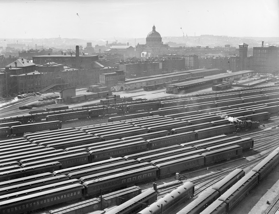
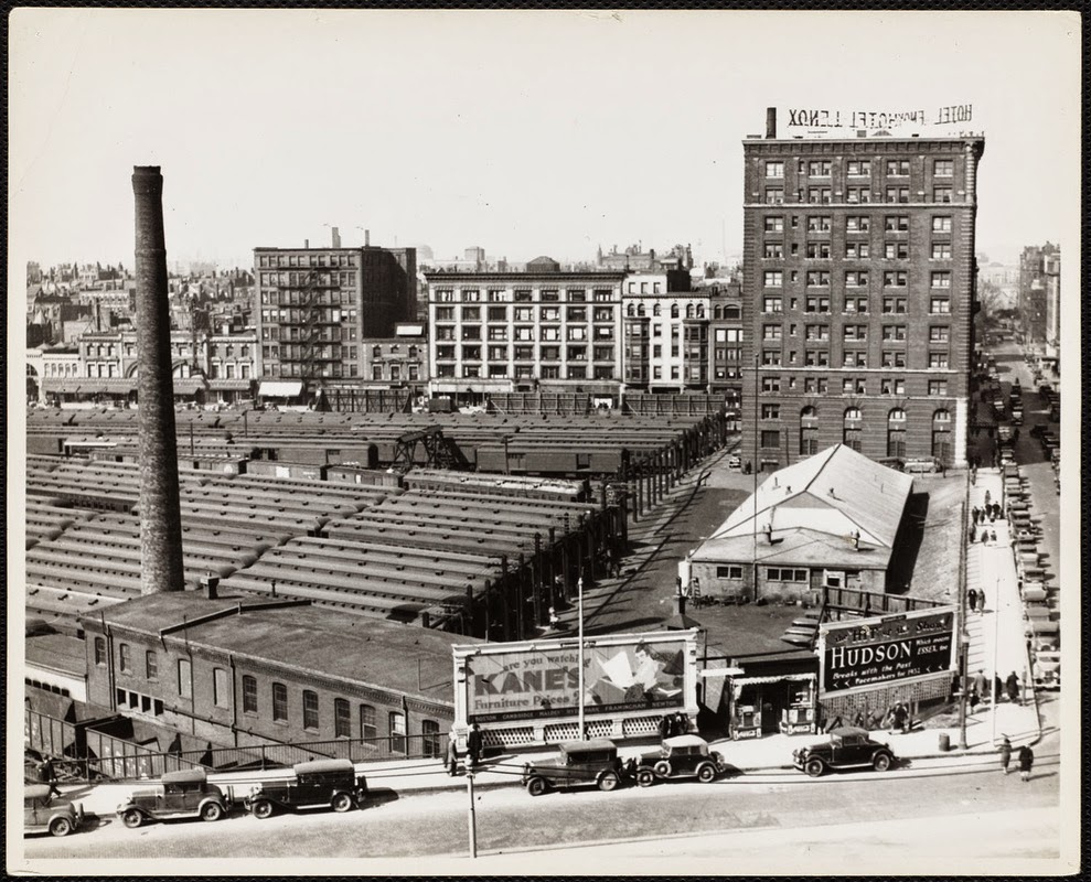
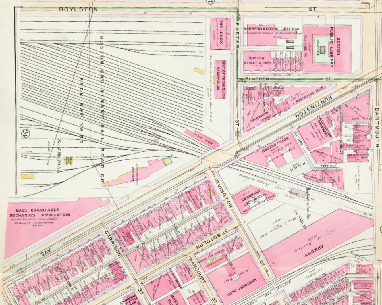
View of the sprawling Boston & Albany yards from the Lenox Hotel, on the corner of Boylston and Exeter Streets, looking toward the Christian Science Church, ca. 1930 [Boston Public Library]
776 Boylston Street and Prudential Center beyond occupy just part of the former Boston & Albany yards [Trulia]
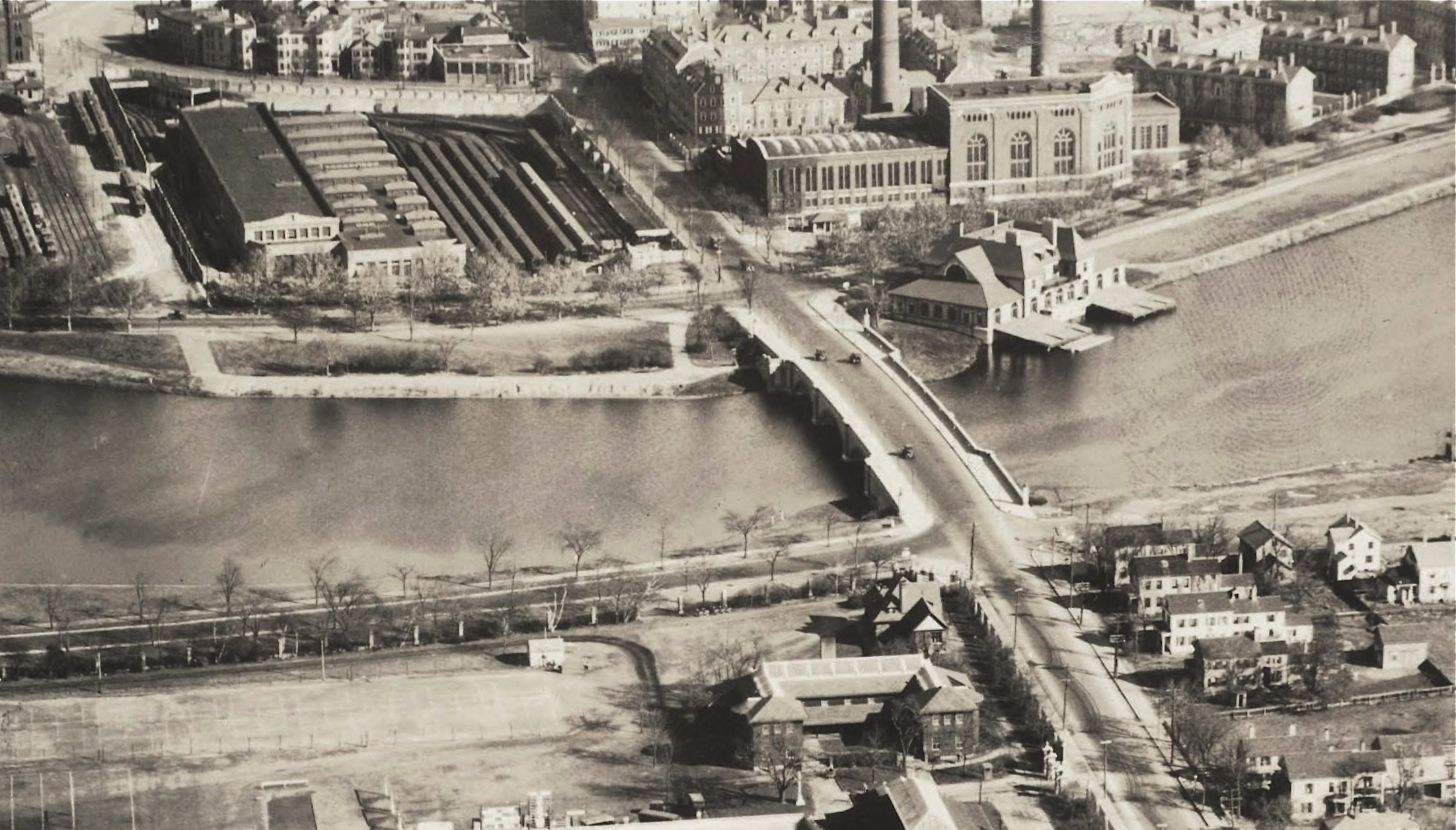
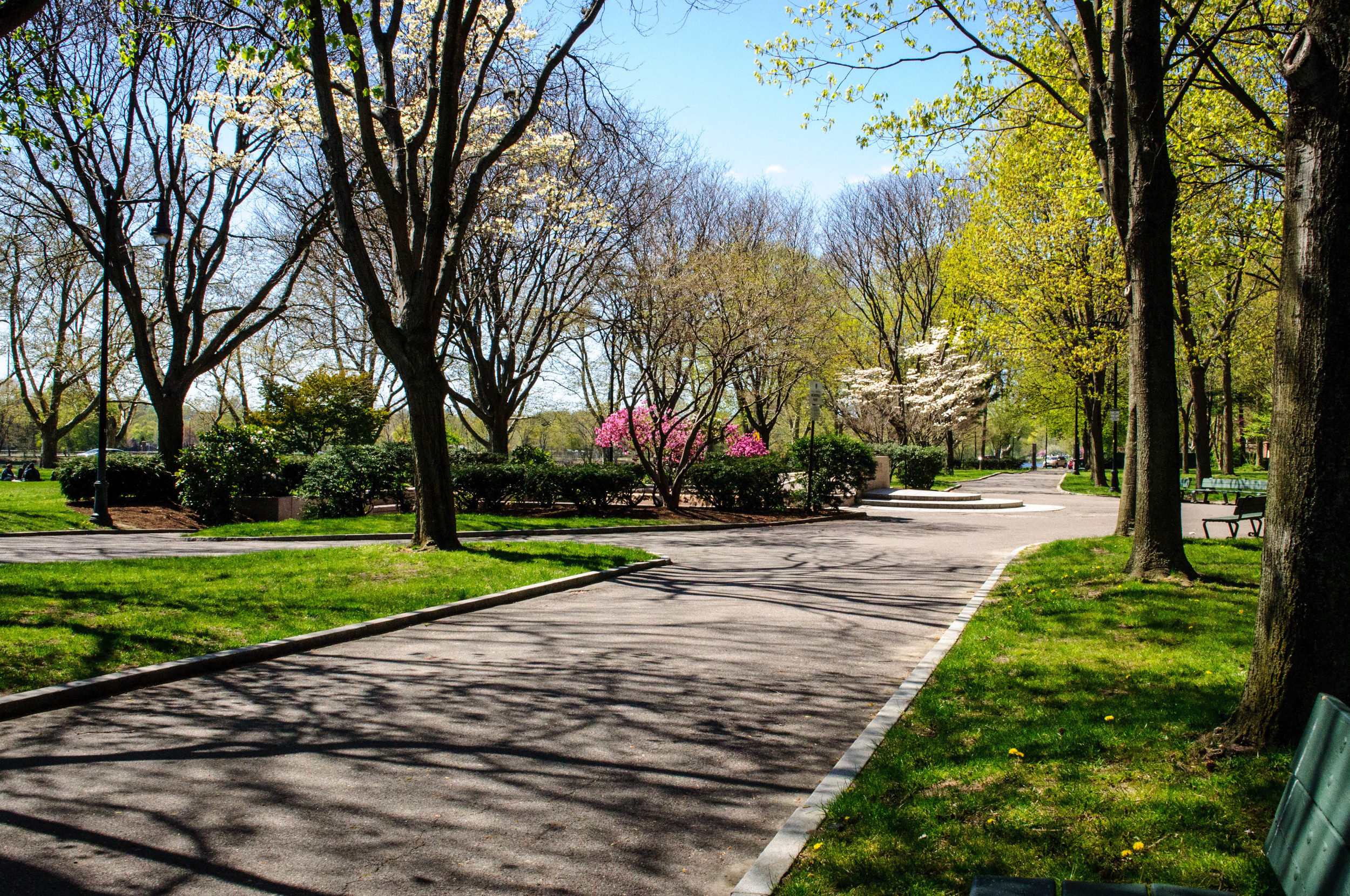
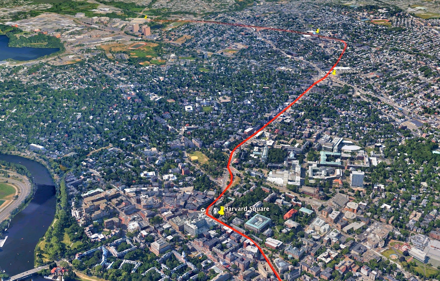
As recently as the 1980’s a large portion of Harvard Square was occupied by MBTA rail storage and maintenance yards. The extension of the Red Line, from Harvard Square to Alewife, completed under Gov. Dukakis allowed these yards to be relocated, and other civic uses to take their place, including JFK Park, the Charles Hotel, and the Kennedy School of Government. Somerville has experienced a dramatic resurgence as a result of this project, which has more than paid for itself.
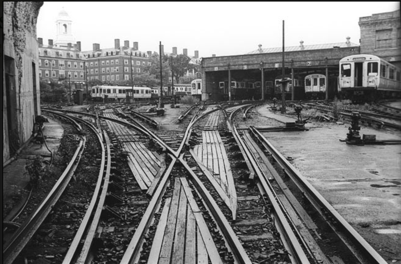
Eliot Square Yard, looking from the tunnel entrance toward Harvard's Eliot House [photo © Mark Solomon ca. 1972]
JFK Park in Cambridge [photo by JOgdenC on Flickr]
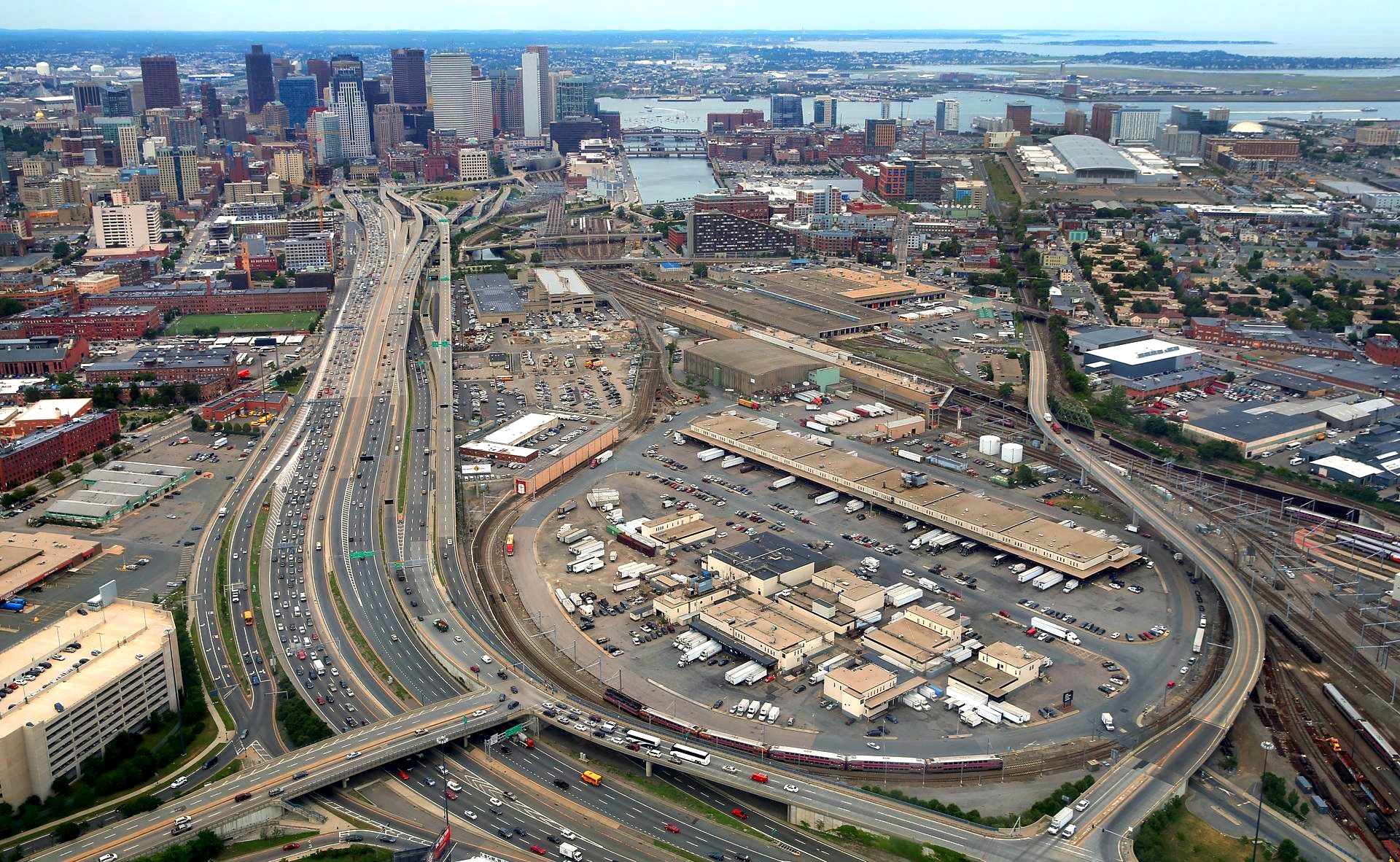
There are a number of other key areas of the City where rail uses continue to devastate the city, including large rail years at North and South Stations, North Point, and Beacon Park, all of which have either direct of indirect waterfront access and other qualities that make them far too valuable for use as rail storage yards.
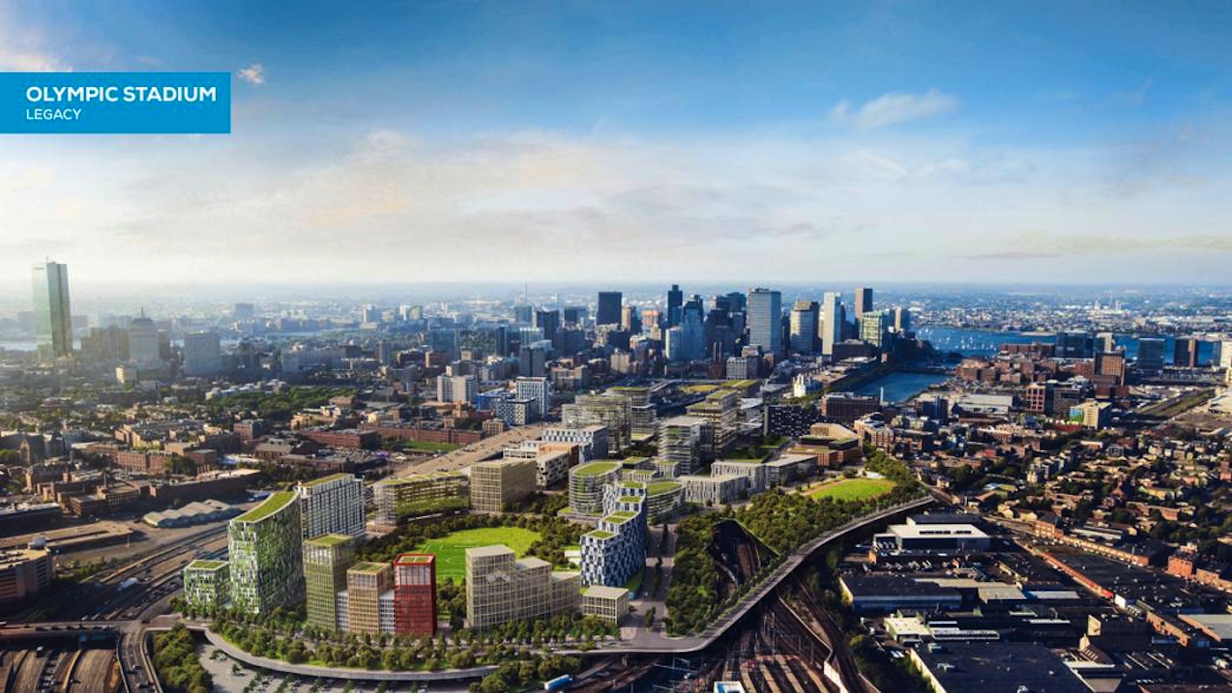
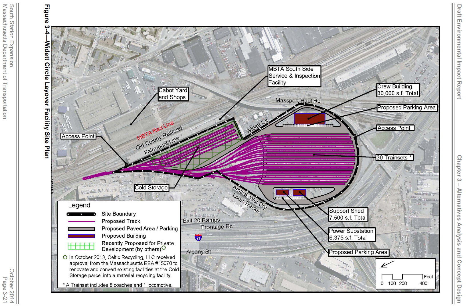
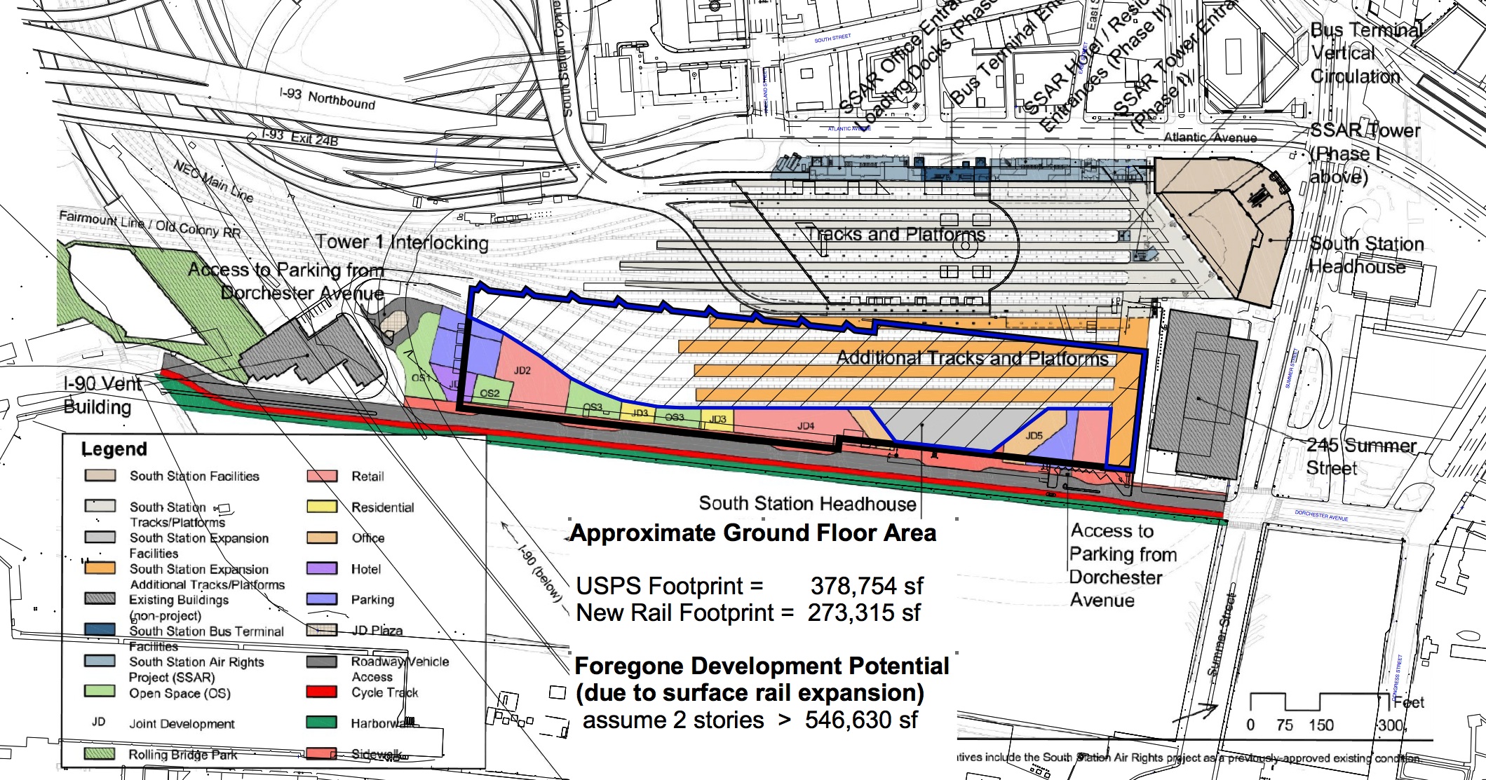
Just as Boston’s Olympic plans have brought attention to the development potential of Widett Circle, the Commonwealth’s plan to expand South Station will actually require an expansion of surface rail uses both at the terminals and on nearby sites, including more than 40 acres of train storage (so-called “layovers”) at Widett Circle and Beacon Park.
[South Station Expansion DEIR]
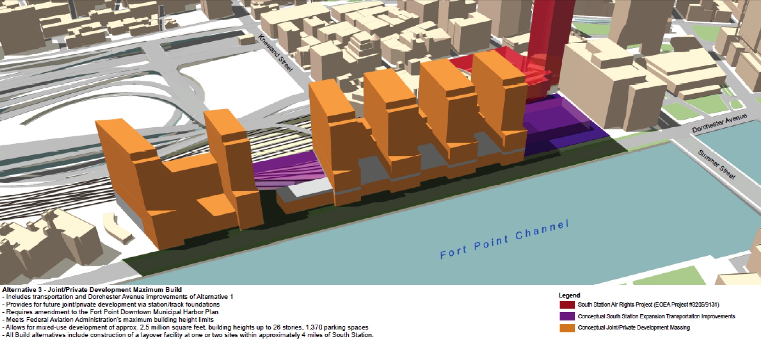
Although the Commonwealth has presented South Station Expansion as a boon to development along
Fort Point Channel, a review of the drawings shows it is in fact a serious encumbrance.
The project requires the purchase and demolition of the US Post Office property along Fort Point
Channel, and its replacement elsewhere. 2.5 million square feet of new development will be created on
the resulting site, but fully three-quarters of the building footprint is devoted to the 7 new rail platforms,
on the first two floors of the building. The 550,000 square feet of potential development are lost to these
tracks and the costs will be driven up for the remainder by the need to build over an active rail facility.
Only a thin layer of useable space remains on the lower floors of the building, and elevators cannot be
located efficiently due to the tracks. These factors are an impediment not a spur to development along
Fort Point Channel.
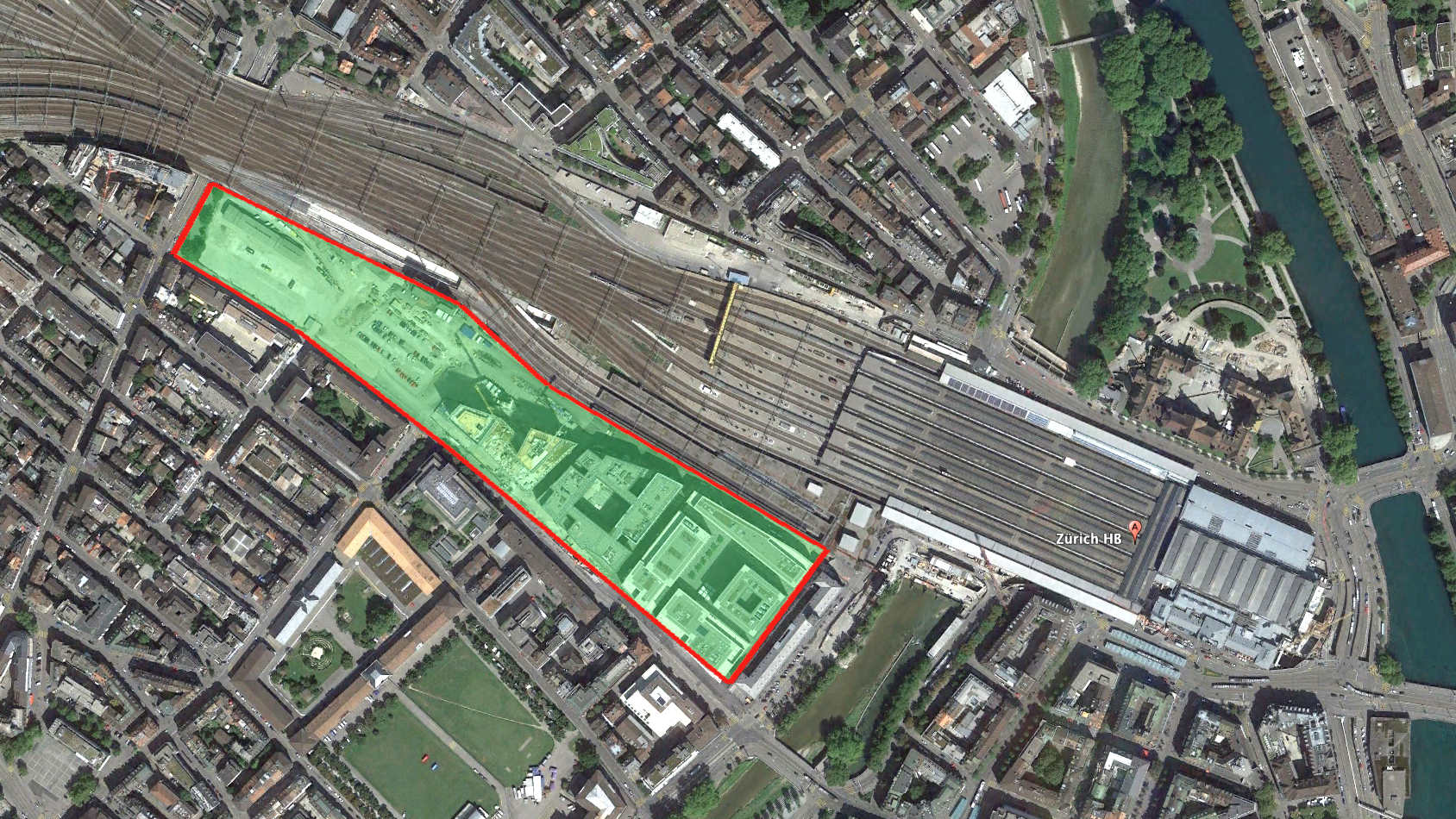
By contrast, when Zurich confronted capacity constraints at their major downtown terminal, they took a
different approach. By putting the rail underground, and running it below the city in tunnel, they not only
improved service across the region, but they also liberated a huge area for higher uses, which they are
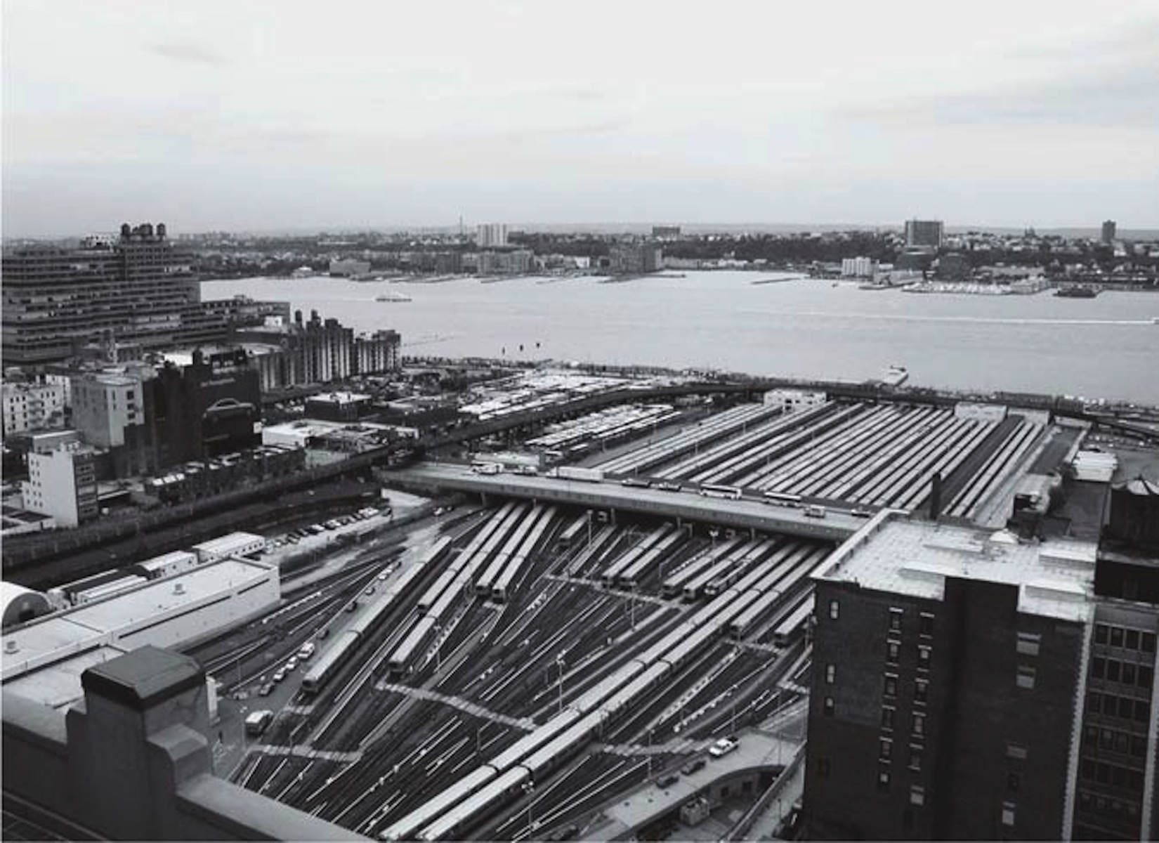
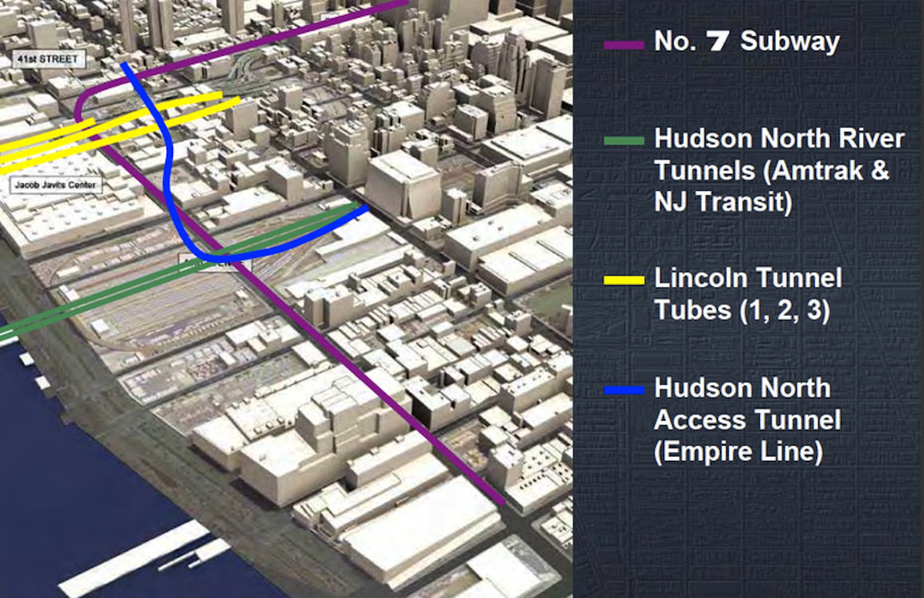
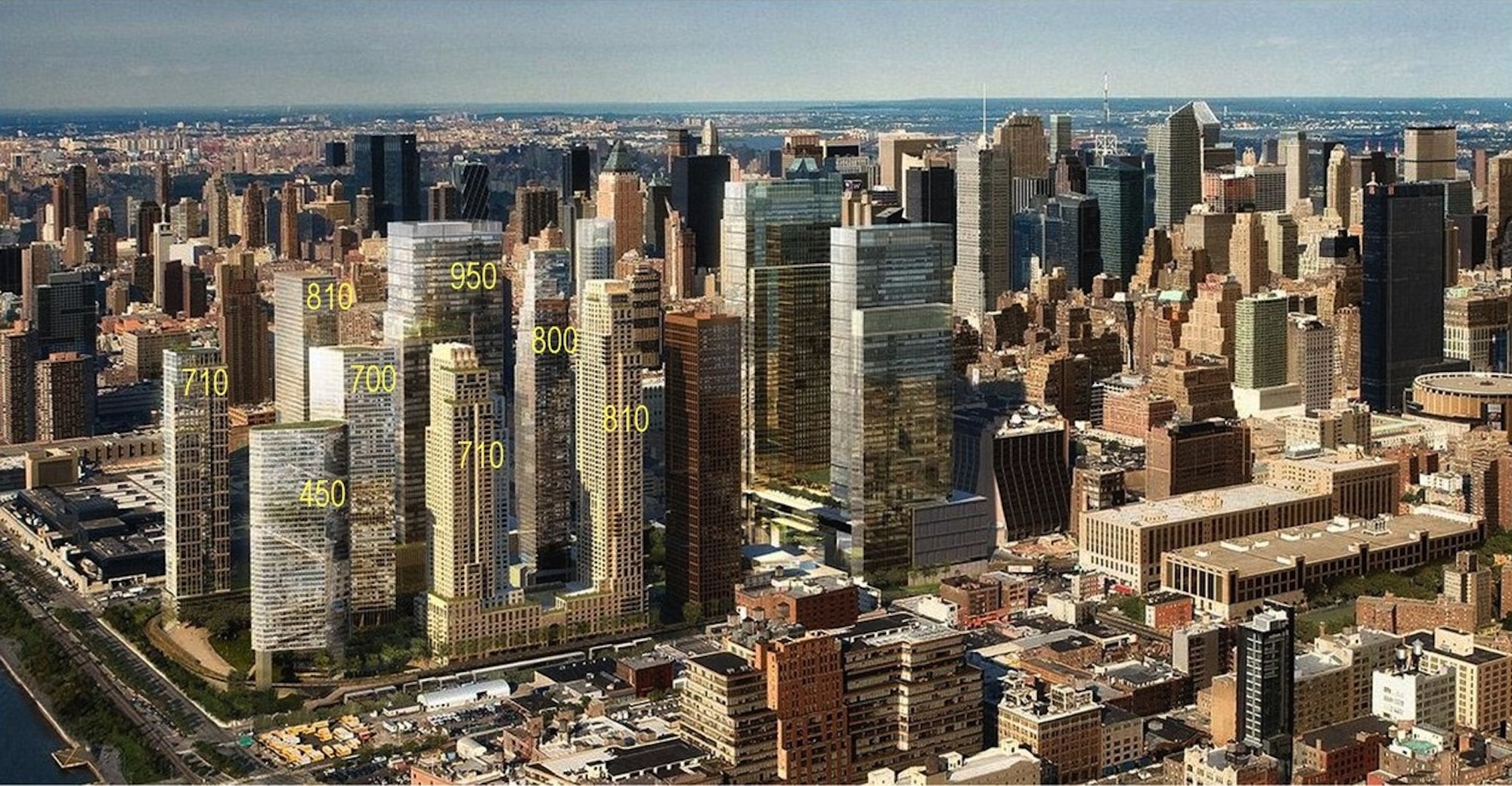
now redeveloping, to the benefit of the city. New York is doing the same thing at the former Hudson
Yards. Vibrant downtowns are too valuable to use as railroad parking lots. South Station Expansion takes
us in exactly the wrong direction.
Hudson Yards served as a waterfront layover yard for Penn Station [© Julian Brash via Archpaper.com]
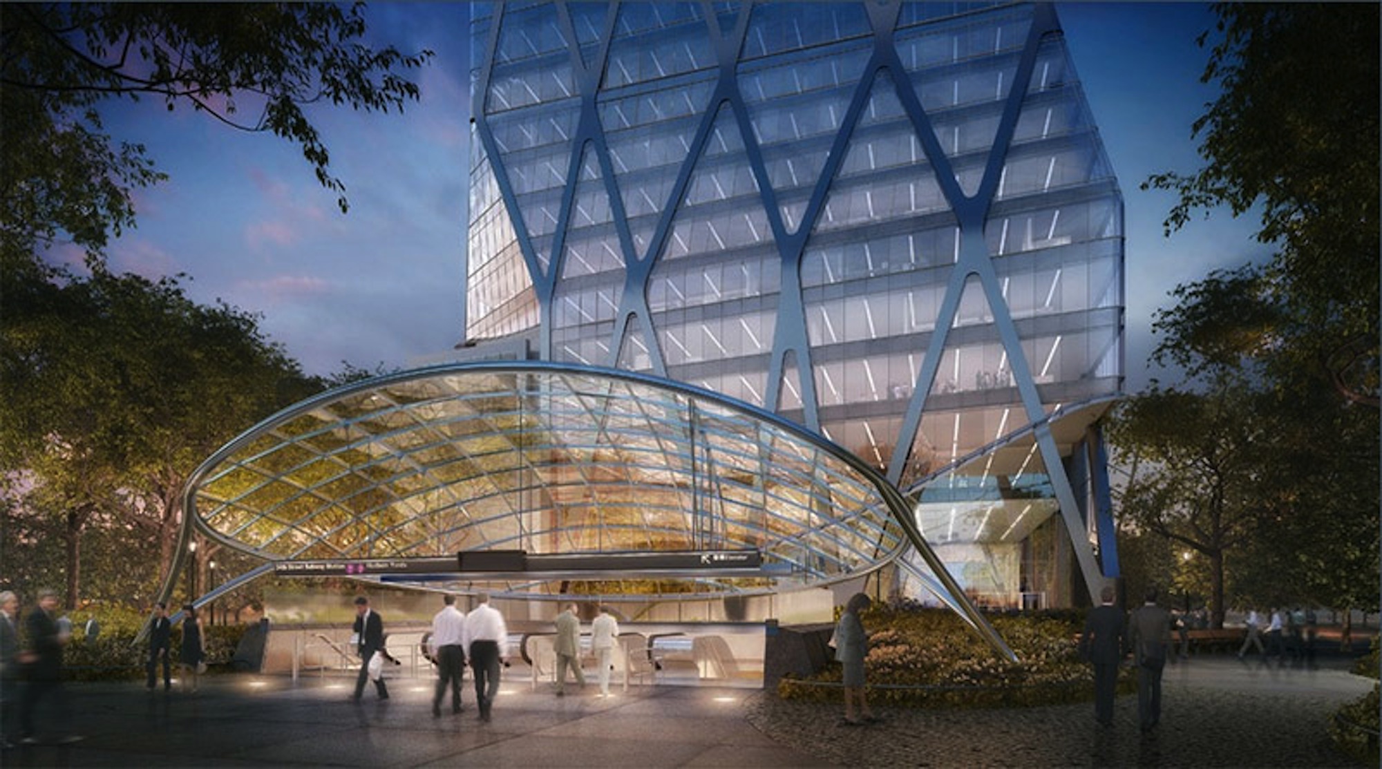
Rendering of proposed development on the Hudson Yards site [Related Companies / Hudson Yards Development Corp.]
Click on arrows on either side of the picture. Read along at the bottom of each picture.