The Rise And Fall Of Highways And Prior Attempts to Create a Rail Link
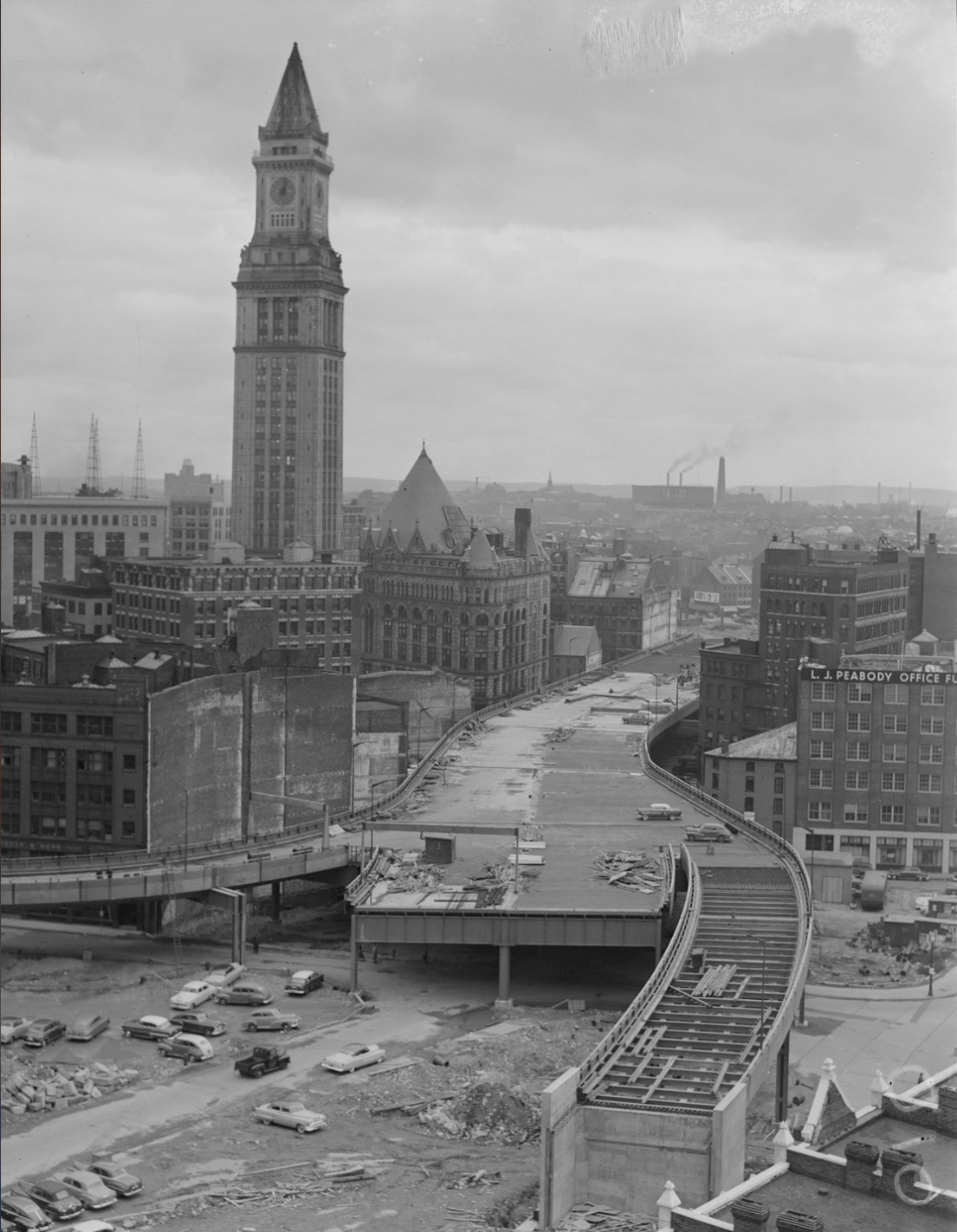
After World War II, fueled by federal investment, highway expansion began in earnest. In the early 1950’s a transportation corridor between North and South Stations was indeed created, but for cars, not trains - and running through the city not in tunnel but rather on elevated viaducts.
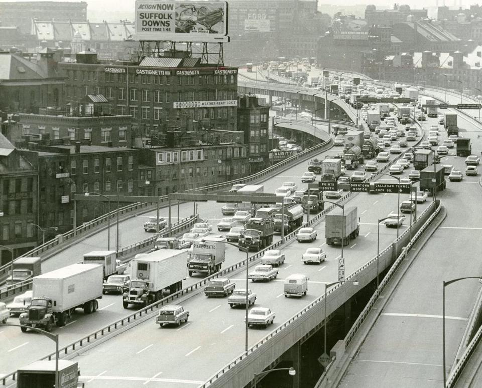
The Central Artery in 1964 [Boston Globe, June 10, 1964]
Within just a few years of its completion the devastating urban impact of the elevated highway was apparent, and plans began to be formulated for its removal. By the late 1970’s during the administration of Gov. Michael Dukakis, the plan took concrete shape, with a pair of rail lines running down the middle.
In March 1987 President Reagan vetoed funding for the Central Artery Project, specifically citing the inclusion of a rail connection. In the battle to overturn this veto and secure funding for the project (by just one vote), the rail link was sacrificed.
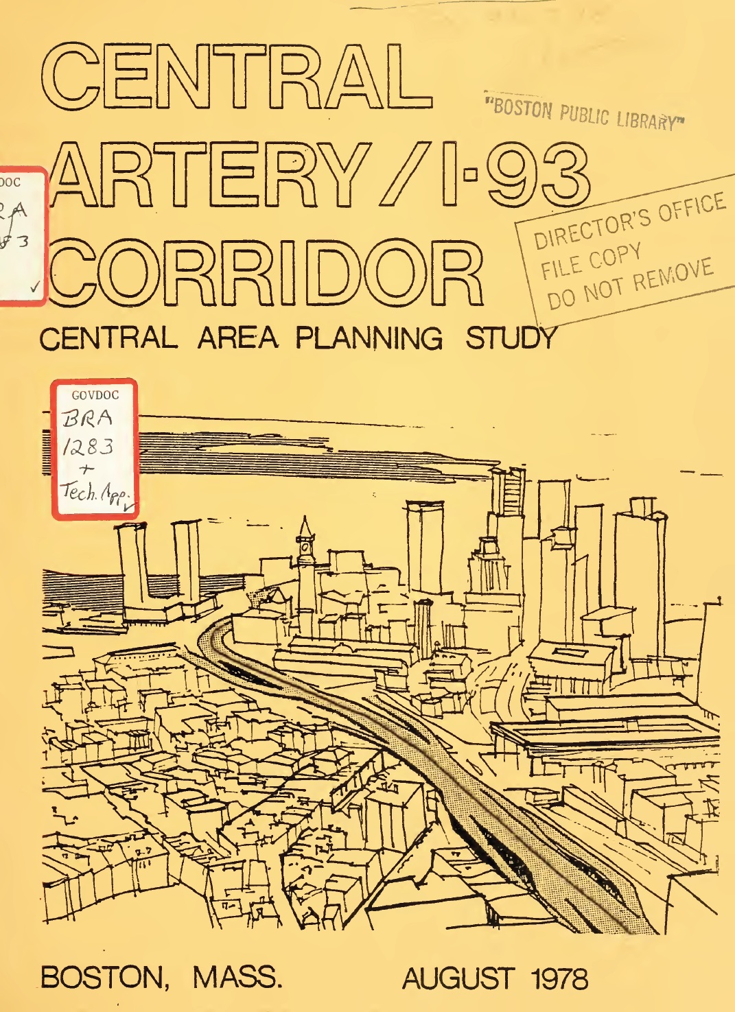
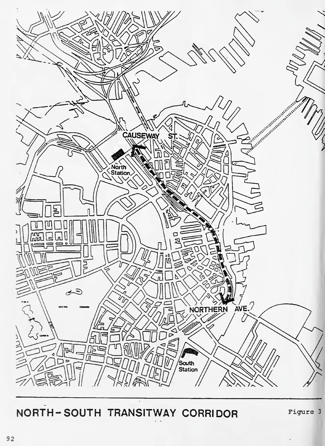
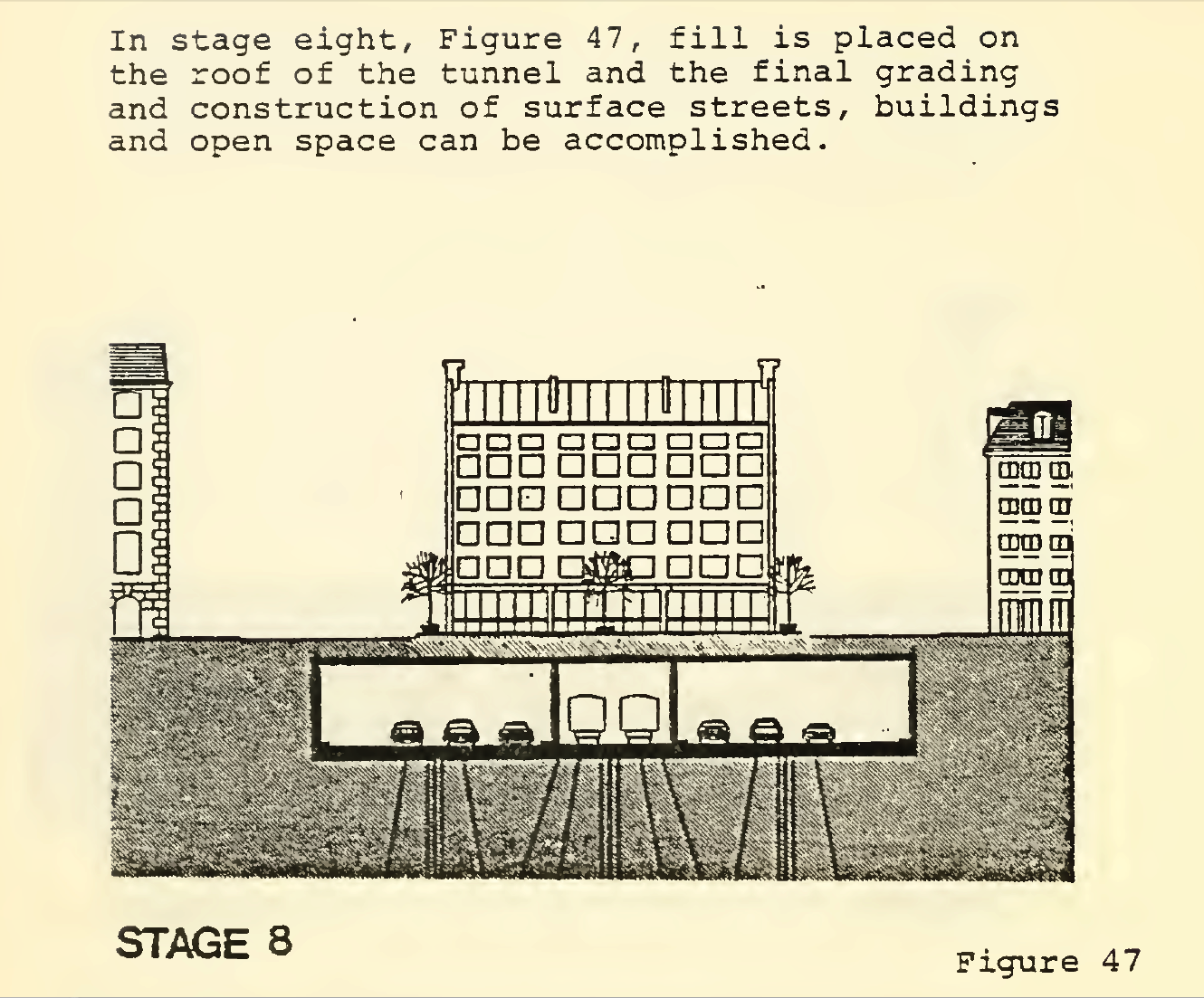
From its inception in 1978 until President Reagan vetoed funding for it in 1986, a two track rail link was a key part of the Central Artery Project, as shown here in Figure 47 of the Central Artery / I-93 Corridor Central Area Planning Study, August 1978 [© Massachusetts DPW, courtesy MIT library]
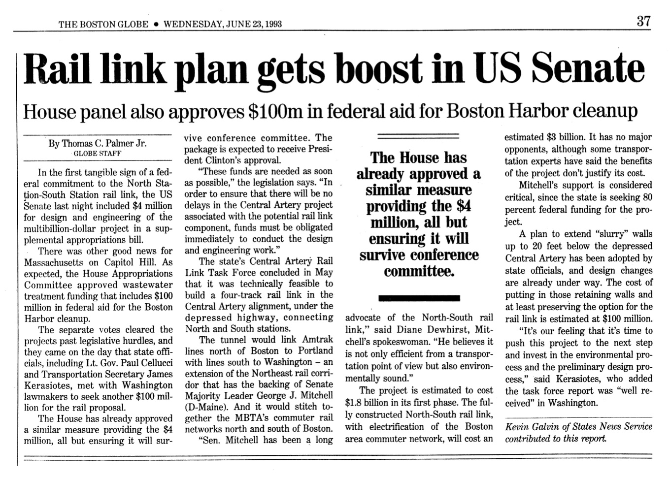
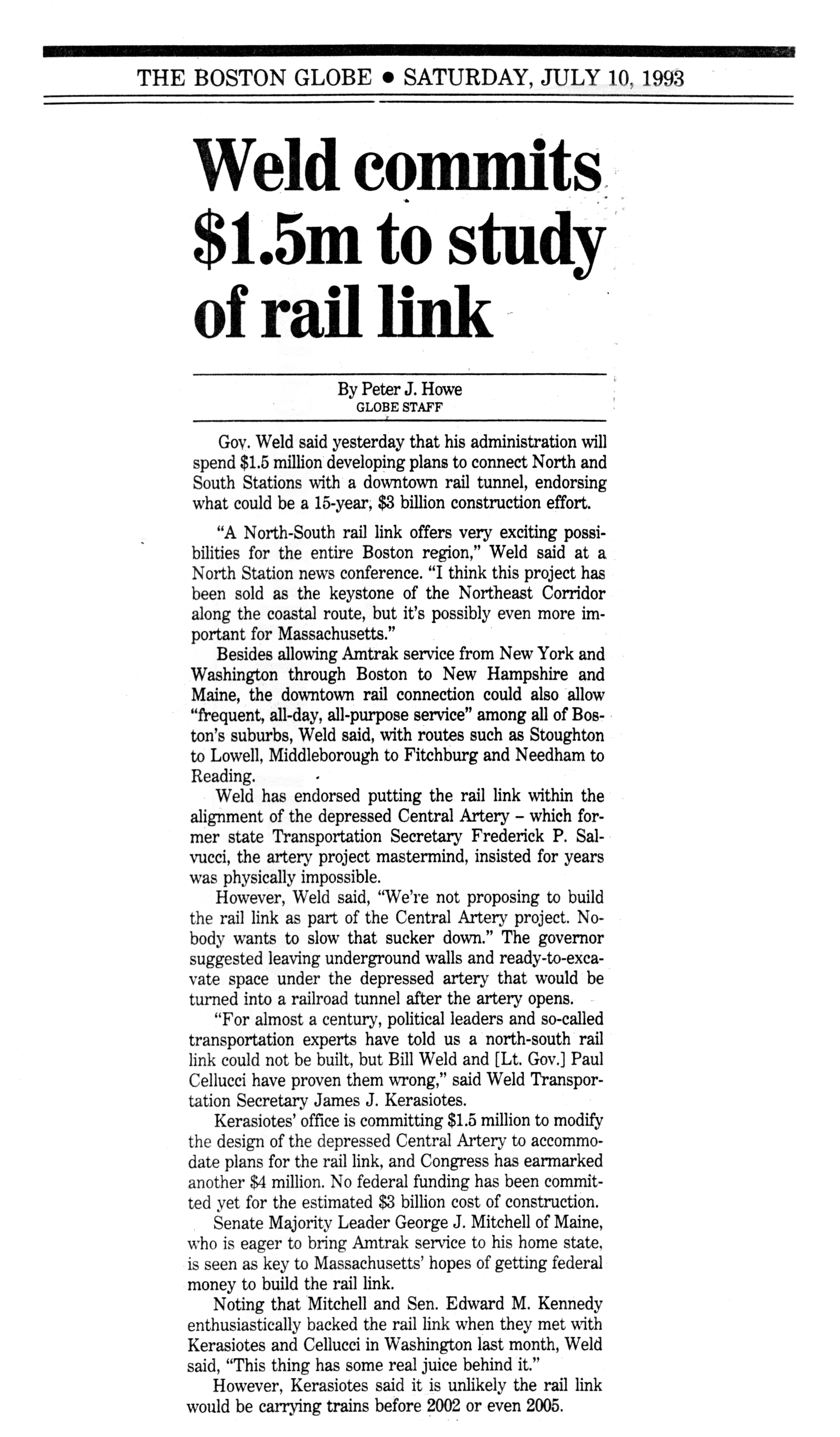
In 1993 Gov. William Weld commissioned a Central Artery Rail Link Task Force to find a way to reintroduce the rail connection into the project. The CARL Task Force developed a plan to build a rail tunnel directly below the Artery highway tunnels, using the Artery slurry walls to simplify the construction. This was released in March 1993. A month later the US Senate approved funding for a more detailed engineering and environmental study, which took place from 1995 – 2003.
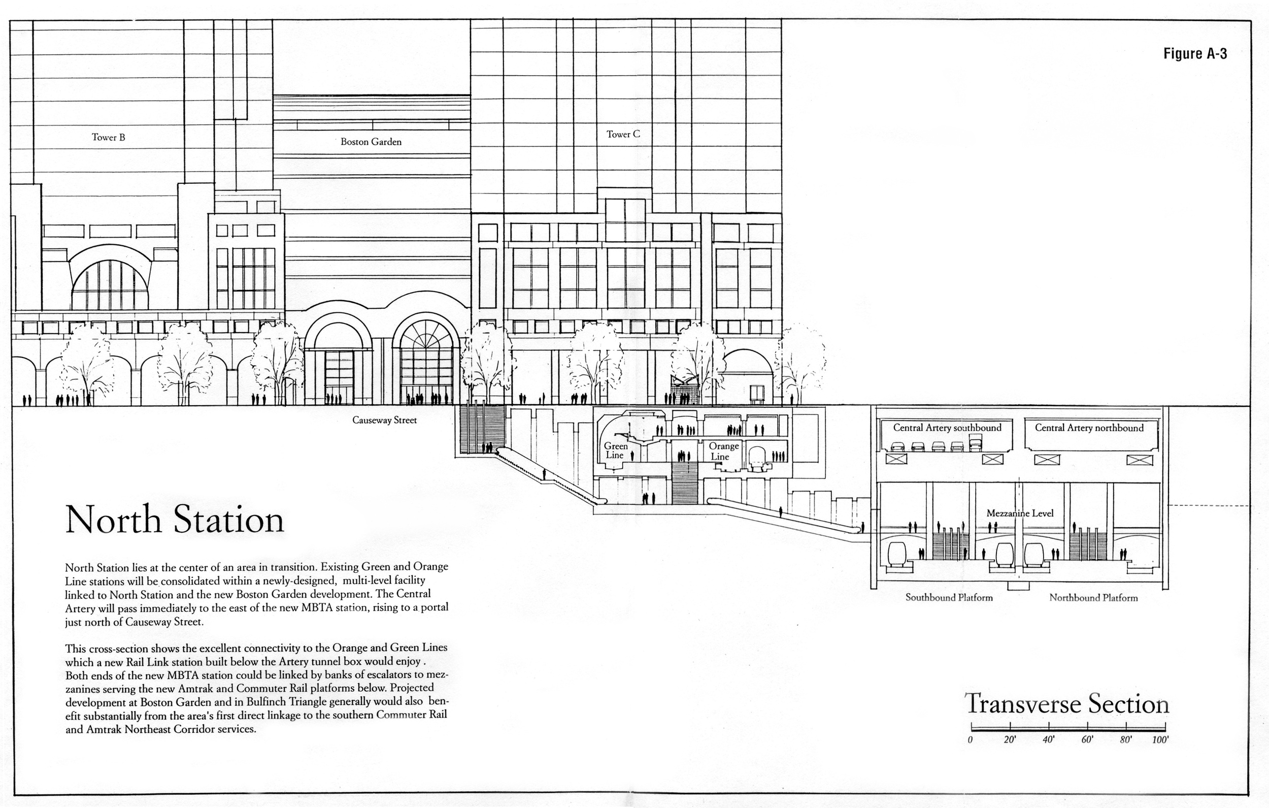
This drawing shows the proposed intermodal connections to the Orange and Green Lines at North Station as proposed by the CARL Task Force. [CARL Task Force / Brad Bellows Architects]
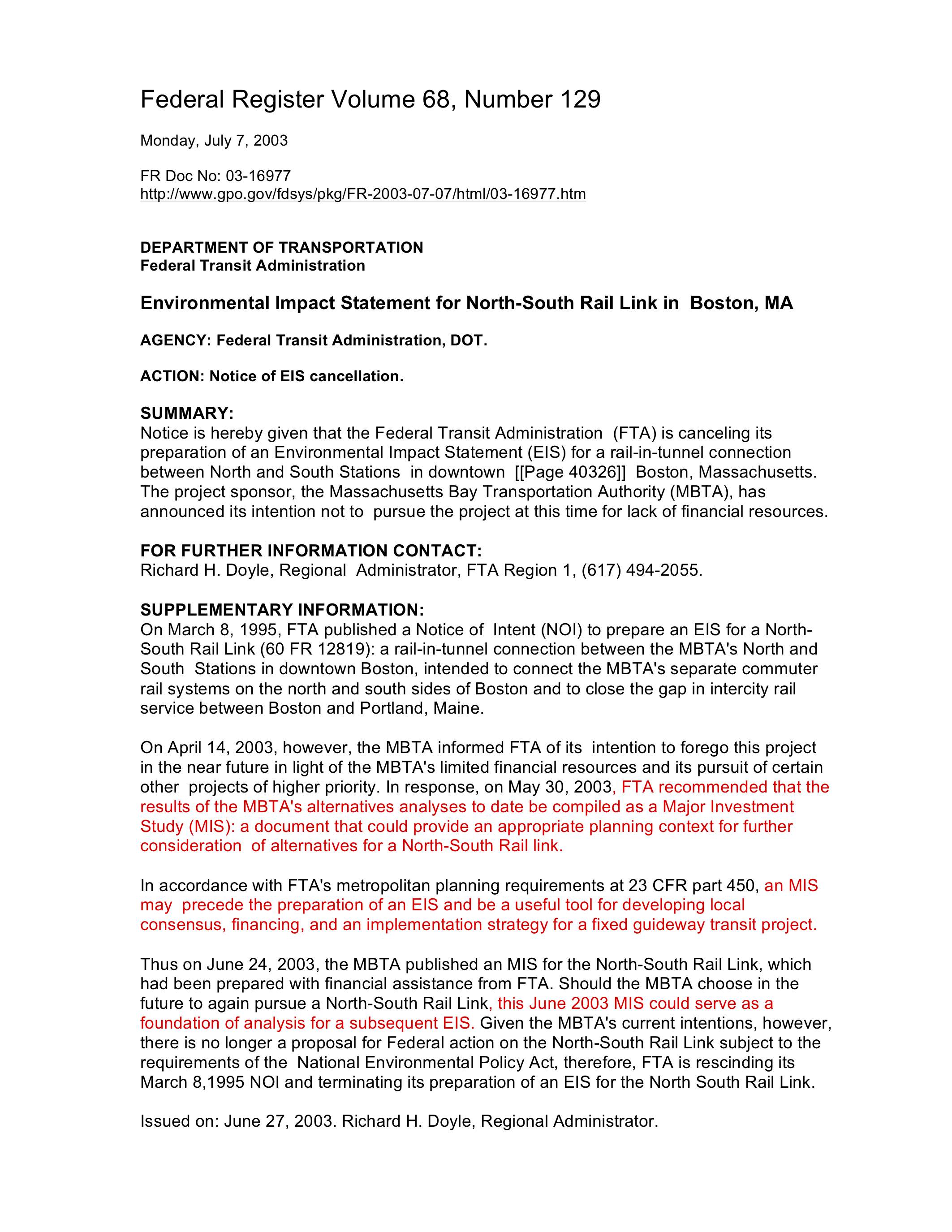
This study, undertaken by Vanasse Hangen Brustlin (VHB), built a firm case for the project, but it was again undermined by the ballooning costs of the Artery. In early 2003, when the NSRL analysis was nearly complete, Gov. Mitt Romney suspended work on the project. The Federal Transit Administration ordered the work to be filed as a Major Investment Study for future use.
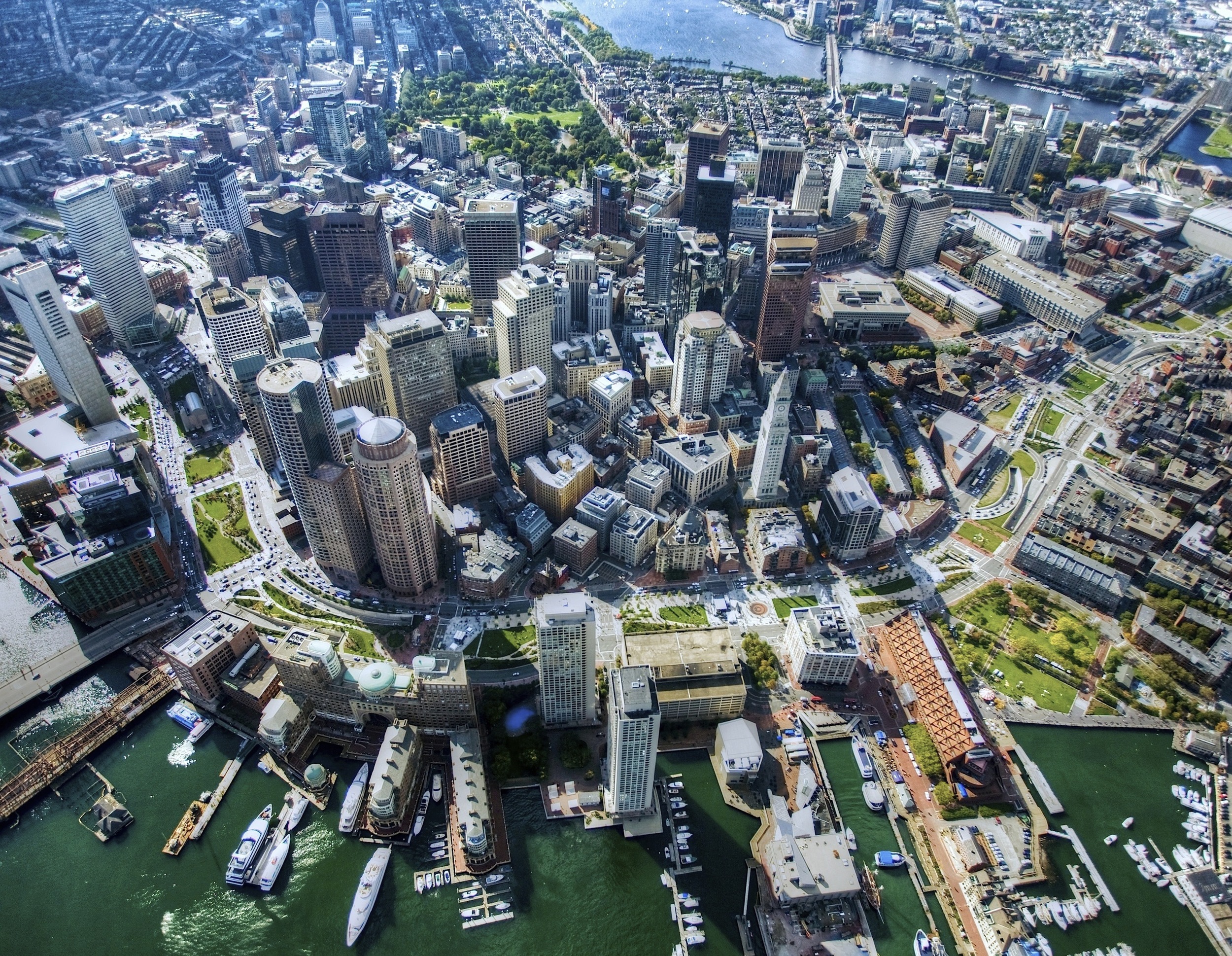
The removal of the elevated Central Artery, completed in 2006, has been a great boon to the City of Boston.
The burial of the Central Artery despite its massive cost, has had a transformative impact on downtown Boston, but the work of linking our regional transportation system, for the benefit of the entire region, remains incomplete. [hellogreenway 4/10/08, via Wikipedia]
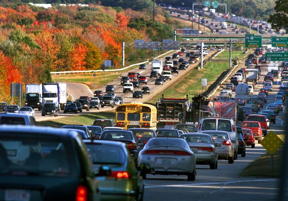
But without the originally-intended rail link, the entire region remains trapped in highway gridlock, with our regional rail networks operating at a fraction of their potential capacity.
In 2014, the Massachusetts Legislature wisely authorized funding for the updating and completion of the North South Rail Link DEIR. For a host of reasons, it is essential that this work be resumed and completed immediately.
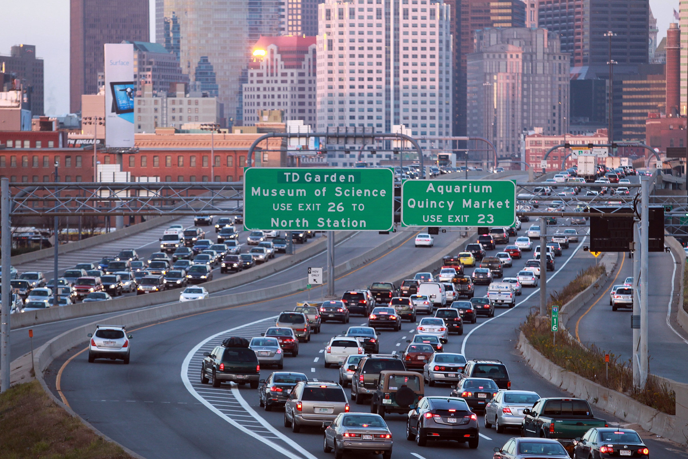
Five years after the completion of the world's most expensive highway project, and in the absence of adequate transit improvements, the region's major north-south highway remains gridlocked in both directions. [© Boston Herald Staff Photo by Matt Stone, 11/21/2012]
Click on arrows on either side of the picture. Read along at the bottom of each picture.